

Please login in order to download photos in full size
If you are not registered, please register for free: www.Free-Photos.biz/register
Please note to download premium images you also need to join as a free member..
You can also save the photos without the registration - but only in small and average sizes, and some of them will have the site's watermark. Please simply click your right mouse button and save the image.
Please login in order to like photos
If you are not registered, please register for free:
Sorry, non-members can download up to 1100 full-size photos per month.
It looks like you have used up your limit.
Free members can download an unlimited number of full-size photos - including the premium free photos.
Join as a member today for FREE! - and download the images without limitations:
www.Free-Photos.biz/membership.php
You can also save the images without the membership - but only in small and average sizes, and some of them may have the site's watermark. Please simply click your right mouse button and save the image.
|
This is a premium free photo
This photo was viewed 1 times and was downloaded in full size 0 times.
This photo was liked 0 times


Source page: |
http://commons.wikimedia.org/wiki/File:Aerial_Photo_of_the_Southern_Suburbia_of_Takamatsu_City,_Lined.jpg |
|---|
Summaryedit
| Description |
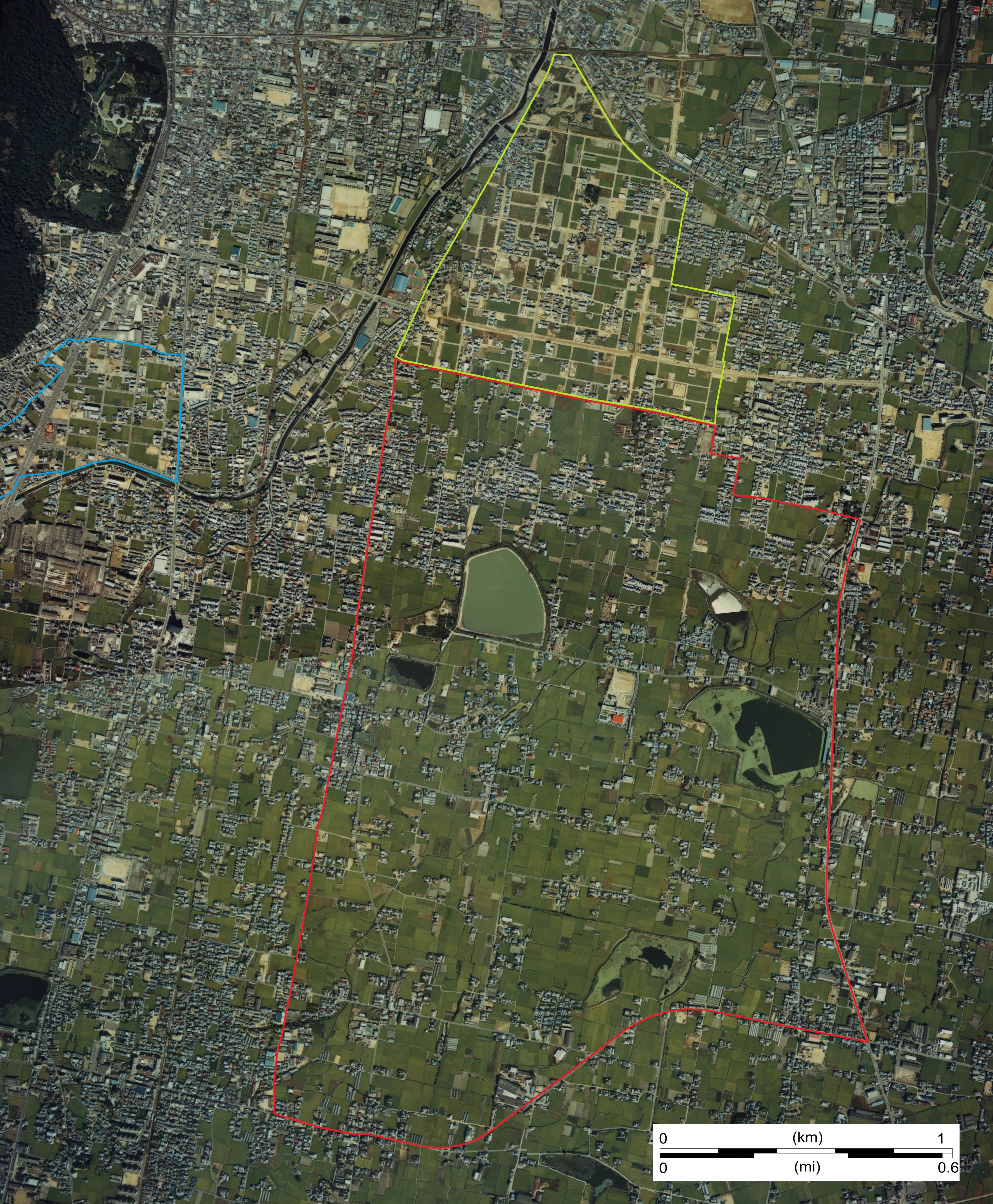
日本語: 香川県高松市南部郊外の空中写真。土地区画整理事業の施工界を記入したもの。
|
| Date | |
| Source |
|
| Author | ラハール |
| Permission (Reusing this file) |
©Ministry of Land |
| Other versions |
|

| Object location | |
View this and other nearby images on: OpenStreetMap - Google Earth |
|---|
| Object location | |
View this and other nearby images on: OpenStreetMap - Google Earth |
|---|
| Object location | |
View this and other nearby images on: OpenStreetMap - Google Earth |
|---|
| Object location | |
View this and other nearby images on: OpenStreetMap - Google Earth |
|---|
Licensingedit
 |
The copyright holder of this file, the Ministry of Land, Infrastructure, Transport and Tourism of Japan, allows anyone to use it for any purpose, provided that the copyright holder is properly attributed. Redistribution, derivative work, commercial use, and all other use is permitted. |
| Attribution: Copyright © National Land Image Information (Color Aerial Photographs), Ministry of Land, Infrastructure, Transport and Tourism
|
 |
This image is copyrighted by the Ministry of Land, Infrastructure, Transport and Tourism of Japan. For terms of use, see the stipulation to use of National Land Information (in Japanese) and message from MLIT (in Japanese and English). When you display this image on an article, include the following phrase in the description: "Made based on [https://w3land.mlit.go.jp/WebGIS/ National Land Image Information (Color Aerial Photographs)], Ministry of Land, Infrastructure, Transport and Tourism". |
| EXIF data: | |
| File name | aerial_photo_of_the_southern_suburbia_of_takamatsu_city__lined.jpg |
|---|---|
| Size, Mbytes | 7.455173828125 |
| Mime type | image/jpeg |
While the copyright and licensing information supplied for each photo is believed to be accurate, Free-Photos.biz does not provide any warranty regarding the copyright status or correctness of licensing terms. If you decide to reuse the images from Free-Photos.biz, you should verify the copyright status of each image just as you would when obtaining images from other sources.
The use of depictions of living or deceased persons may be restricted in some jurisdictions by laws regarding personality rights. Such images are exhibited at Free-Photos.biz as works of art that serve higher artistic interests.
PRIVACY POLICY
By registering your account and/or by subscribing to new and newly rated photographs you agree we may send you the links to photos and we may occasionally share other information with you.
We do NOT disclose your personal data.
